Loading
Preparing your Himalayan journey
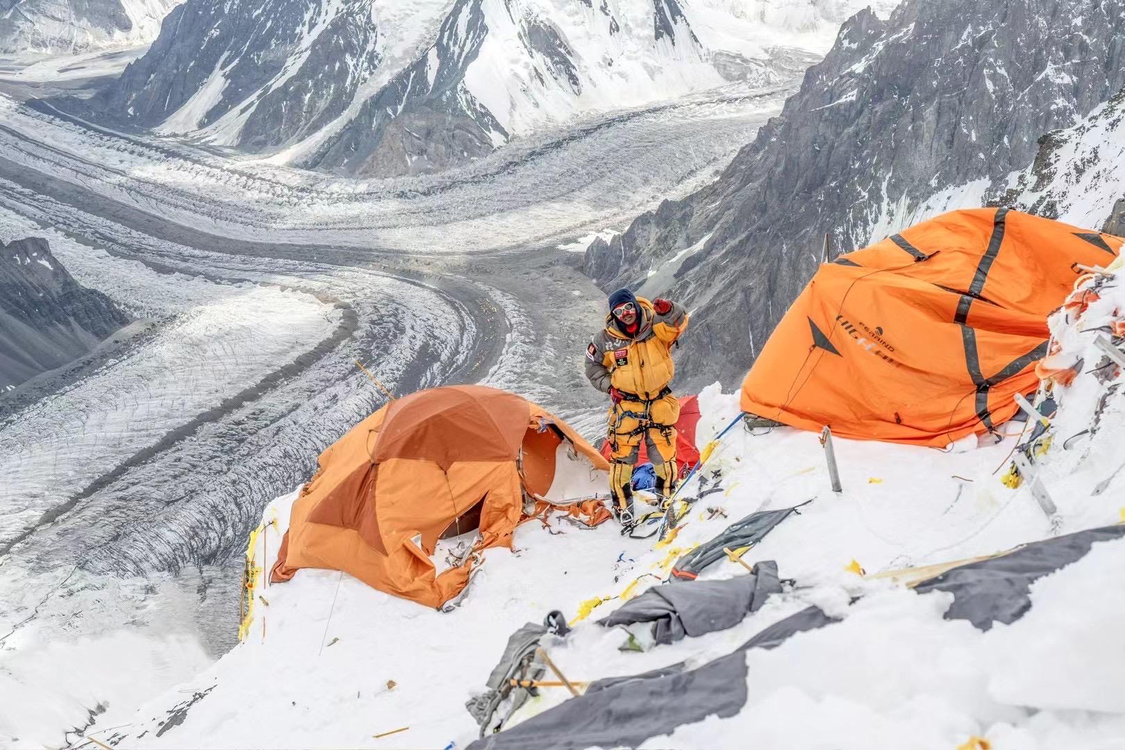
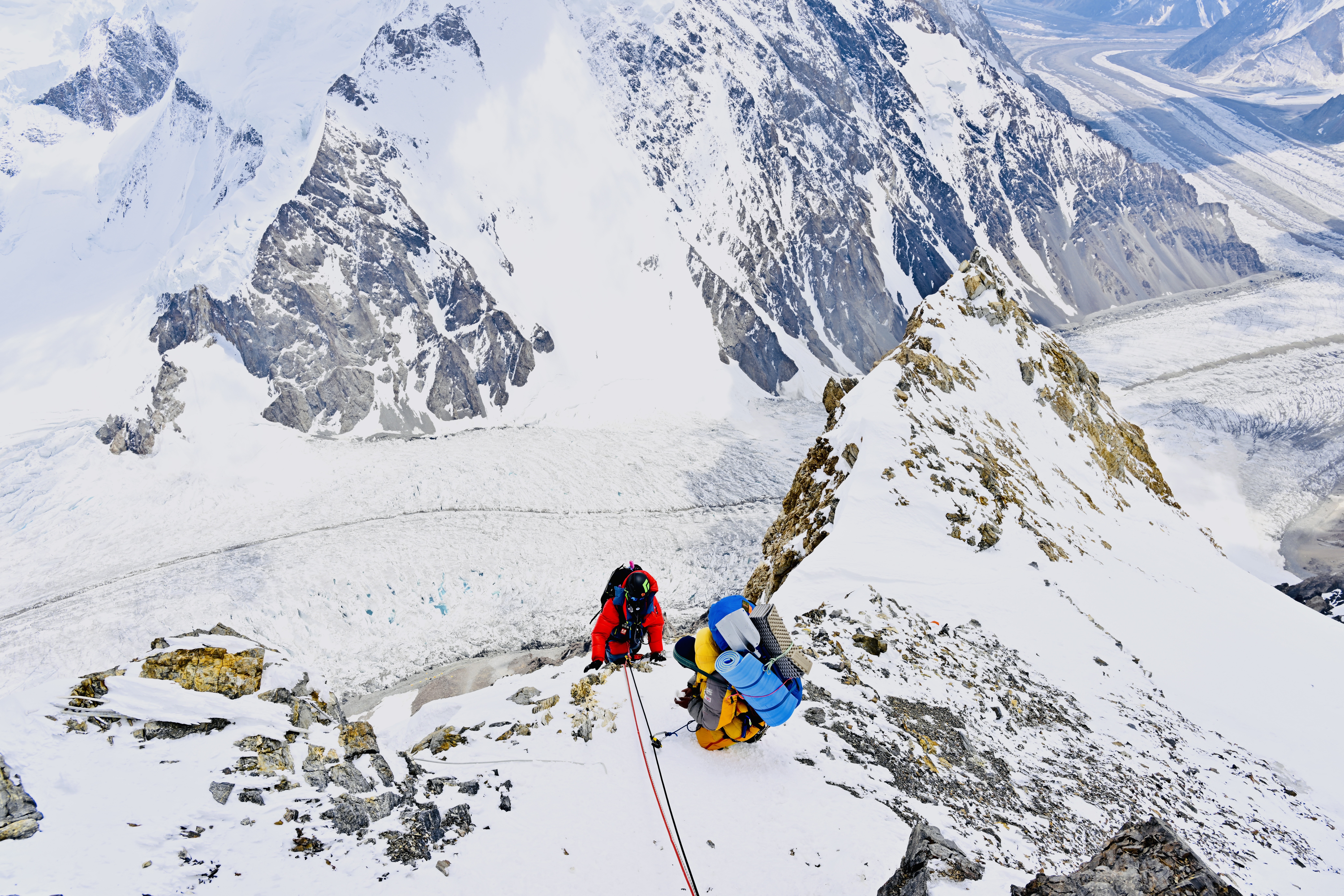
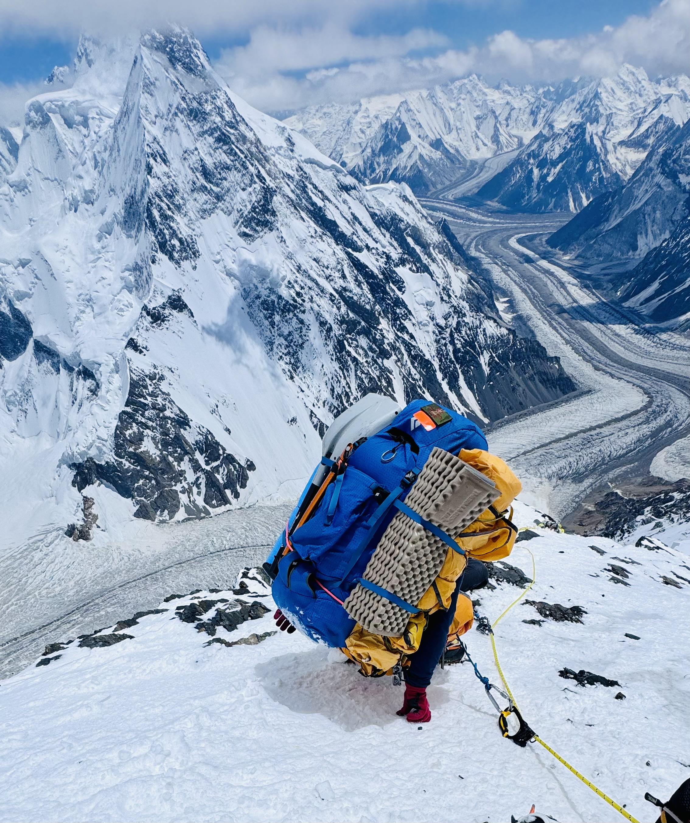
K2 Expedition
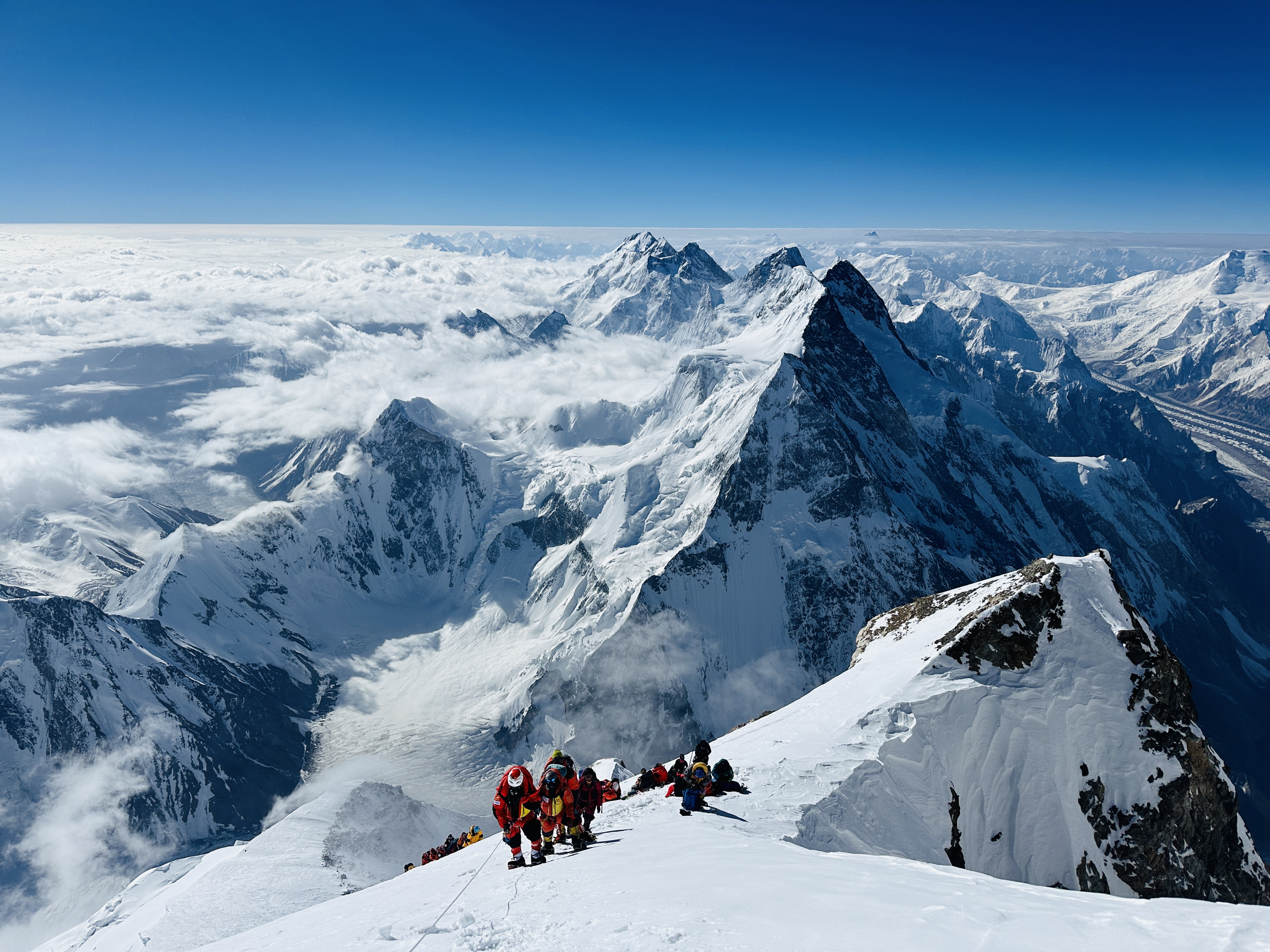
At 8,611 meters (28,251 feet), Mount K2 is the world’s second-highest mountain and one of the most technically demanding and dangerous mountaineering objectives on Earth. Known as the “Savage Mountain,” K2 rises dramatically from Pakistan’s Karakoram Range, combining extreme altitude, steep technical terrain, severe weather, and prolonged exposure.
The Himalayan Mountaineering Expedition K2 Expedition follows the classic Abruzzi Spur Route, with progressive acclimatization rotations through the high camps before the final summit attempt. Designed for experienced high-altitude mountaineers, the expedition provides professional Sherpa support, technical preparation, supplemental oxygen, comprehensive Base Camp logistics, weather forecasting, and structured high-altitude operations.
Experience K2 with a professionally managed expedition designed for climbers prepared to take on one of the world's ultimate mountaineering challenges
K2 Expedition
Difficulty
10/10
High At 8,611 m (28,251 ft), K2 is the world’s second-highest and one of its most dangerous mountains. Known as the “Savage Mountain,” it rises in the remote Karakoram on the Pakistan–China border. Its steep pyramid of rock, ice, and hard snow, combined with severe weather, makes every ascent exceptionally demanding. K2 demands far more than ambition—it requires elite technical skill, experience, endurance, and unwavering judgment.
Activity
Mountaineering
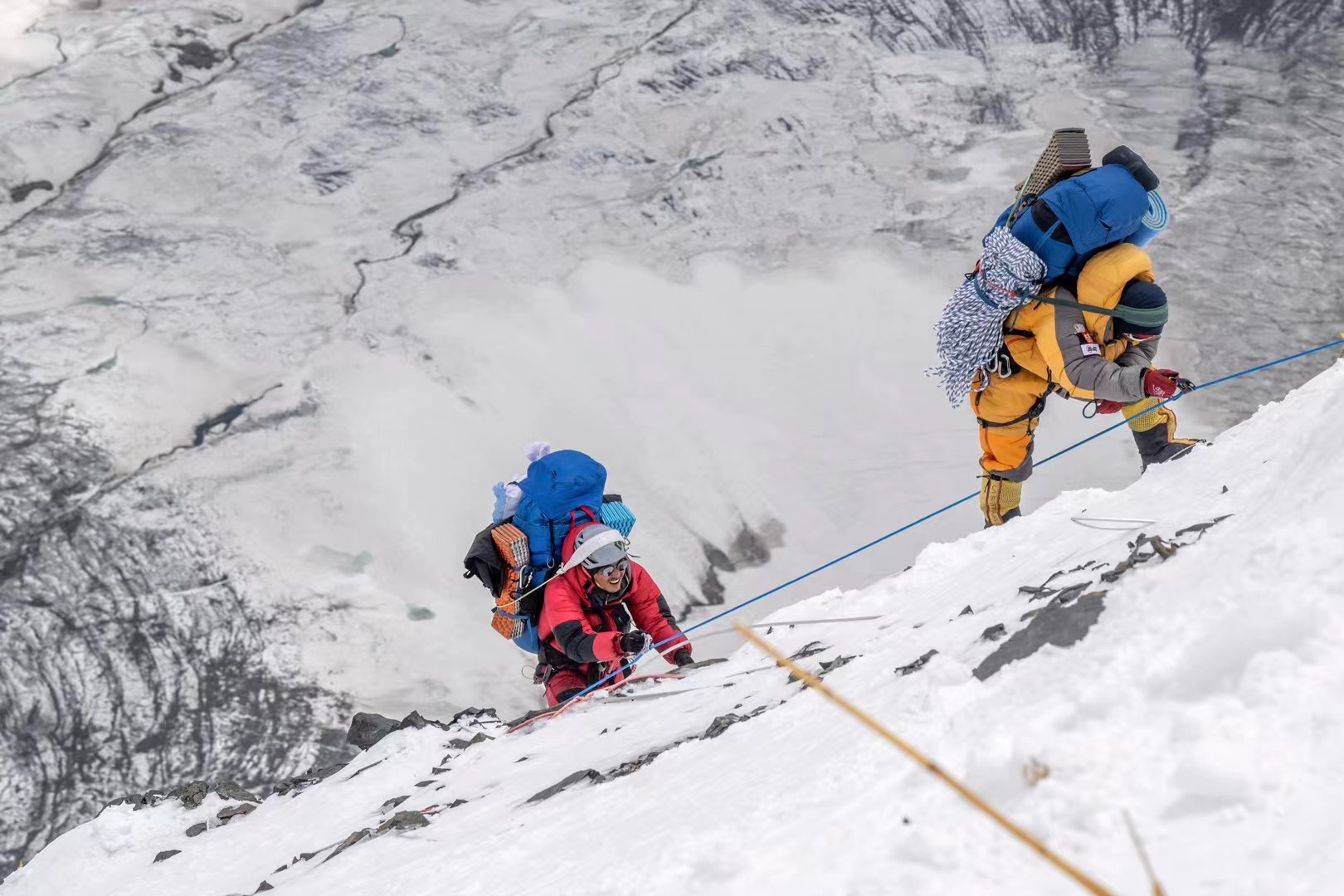
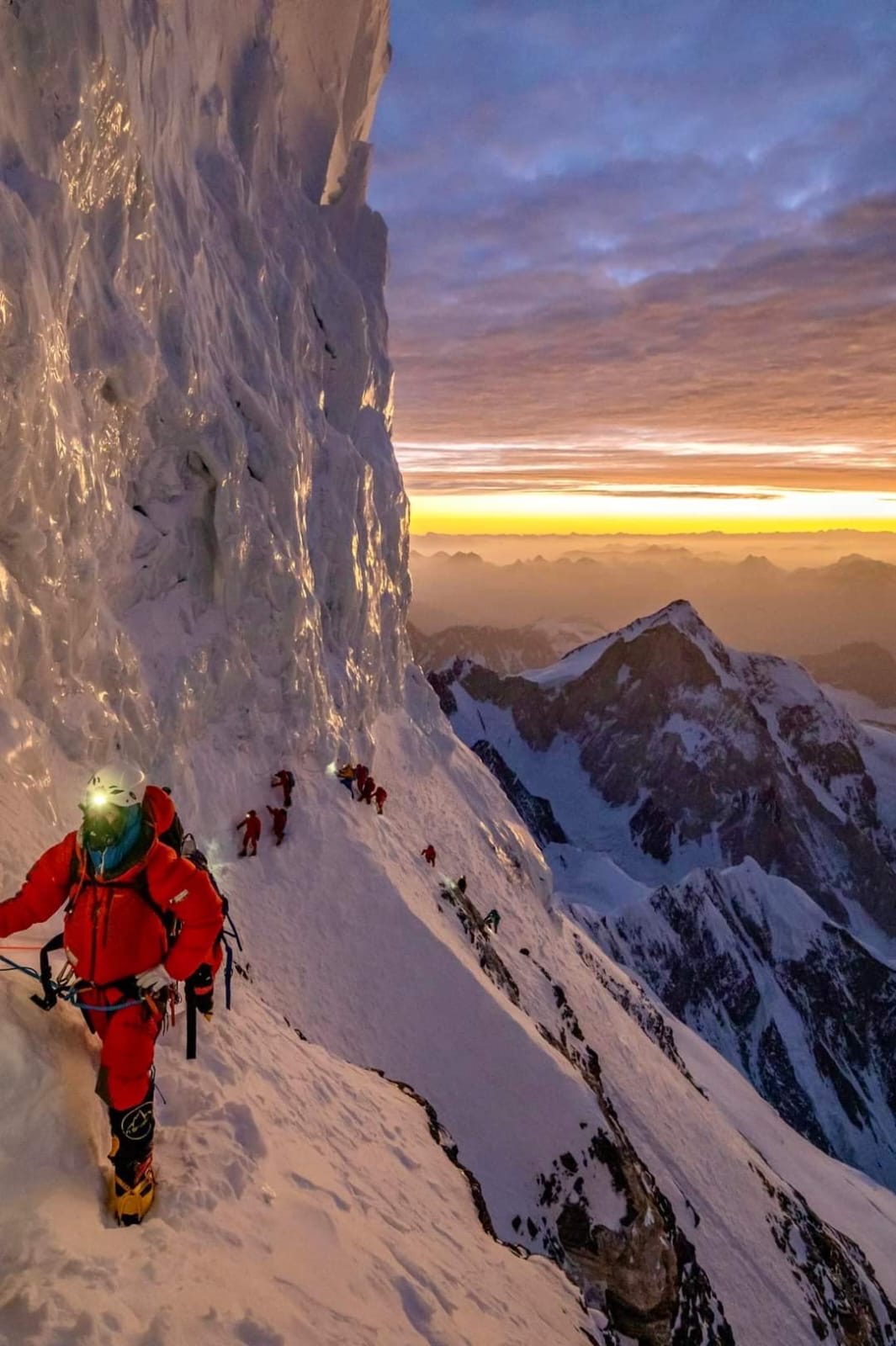
K2 climbing is technical, high-altitude mountaineering that demands strong endurance, stamina, and real practice with climbing gear. Every climber follows the classic Abruzzi Spur route, which mixes rock, ice, and mixed terrain above Base Camp.
Best Season
July-August
July–August is the only reliable pre-monsoon window for K2, when jet stream winds ease enough for a summit attempt. Even within this window, clear summit days are rare, so teams often hold at Base Camp for two to three weeks.
Max Elevation
0 Meters
K2 is the second-highest point on Earth and sits entirely within the death zone above 8,000m for its final stretch. We build a full acclimatization rotation into the itinerary to help your body adjust before the summit push.
Location
Pakistan
Karakoram Region / Gilgit-Baltistan K2 rises in northern Pakistan near the China border, reached via the Baltoro Glacier from Askole. Its coordinates are approximately 35.8825° N, 76.5133° E.
Transportation
Flight - Jeep - Trek
We use a domestic flight from Islamabad to Skardu, a private jeep from Skardu to Askole, and a multi-day trek along the Baltoro Glacier to reach K2 Base Camp. A shared or private helicopter return is available depending on your package.
Duration
0 Days
40 days is the minimum responsible timeframe for a K2 attempt, covering travel, trek-in, acclimatization rotations, and weather contingency. Most of this time is spent on the mountain itself, not in transit.
Group Size
2-10
We keep our K2 teams small — between 2 and 10 climbers — so we can focus on individual Sherpa support, safety, and summit readiness rather than managing a large crowd.
Accommodation
Hotel - Lodge - Tent
Accommodation in Islamabad and Skardu is in 4- to 5-star hotels depending on your package. On the trek and at Base Camp, we provide fully serviced tented camps with heated dining and a dedicated kitchen crew
Price
$0
Our starting package begins at USD 40,000 per person for the K2 Classic Expedition, rising to USD 85,000 for the fully supported Luxury Expedition. See the Packages section below for what's included at each level.
Food
Breakfast - Lunch - Dinner
We provide breakfast, lunch, and dinner throughout the trek, climb, and Base Camp stay, along with tea, coffee, and filtered drinking water. In Islamabad and Skardu, hotel breakfast is included with meals available nearby.
Overview
Mount K2 (8,611m) stands as the ultimate mountaineering objective on Earth — a peak that commands absolute respect from those who attempt it and reverence from those who study it. K2's name derives from the notation used by British surveyor T.G. Montgomerie in 1856, who labeled the two visible Karakoram peaks "K1" and "K2" during the Great Trigonometrical Survey of India. Unlike Everest, Kangchenjunga, and most other giants, K2 was never given a local name, and so it retained its surveyor's designation — a fitting identity for a mountain of such stark, elemental character.
First summited on July 31, 1954, by Lino Lacedelli and Achille Compagnoni of the Italian expedition led by Ardito Desio, K2 had resisted numerous serious attempts — including a 1939 American expedition led by Fritz Wiessner that came within 300 meters of the top — before finally being climbed. Even today, K2 Expedition has been submitted far fewer times than any other eight-thousander of comparable fame. As of 2024, fewer than 700 individuals have stood on its summit — compared to over 11,000 Everest summiteers — a statistic that reflects not only the mountain's difficulty but also its demand for a very specific caliber of climber.
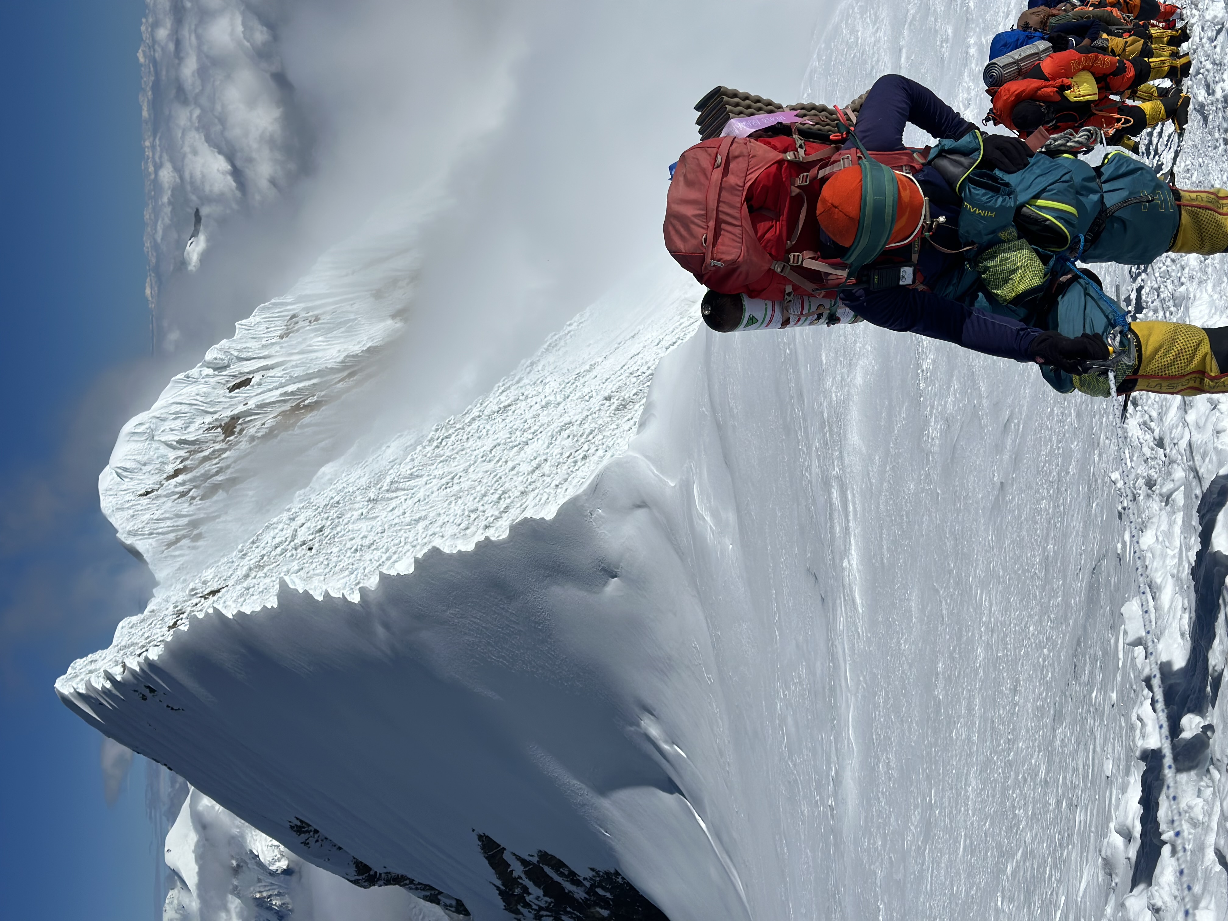
The Abruzzi Spur, K2's most established route, was first attempted by Luigi Amedeo di Savoia in 1909 and named in his honor. The spur rises from Base Camp at 5,150 meters through a series of rock bands, icefalls, and ridges to the Shoulder at 8,000 meters before the final push through the Bottleneck to the summit pyramid. The route demands competence in rock climbing, ice climbing, mixed terrain navigation, and fixed rope technique simultaneously — at altitudes where cognitive function is severely impaired and error costs are absolute.
The Karakoram Landscape and Approach Route
The approach to K2 Expedition Base Camp via the Baltoro Glacier is one of the most spectacular mountain journeys on Earth and a defining part of the K2 expedition experience. From Askole — the last village connected by road — the trek follows the Braldu River and then the Baltoro Glacier for approximately 60 kilometers over six days, gaining 2,000 meters of elevation before reaching Base Camp at 5,150 meters.
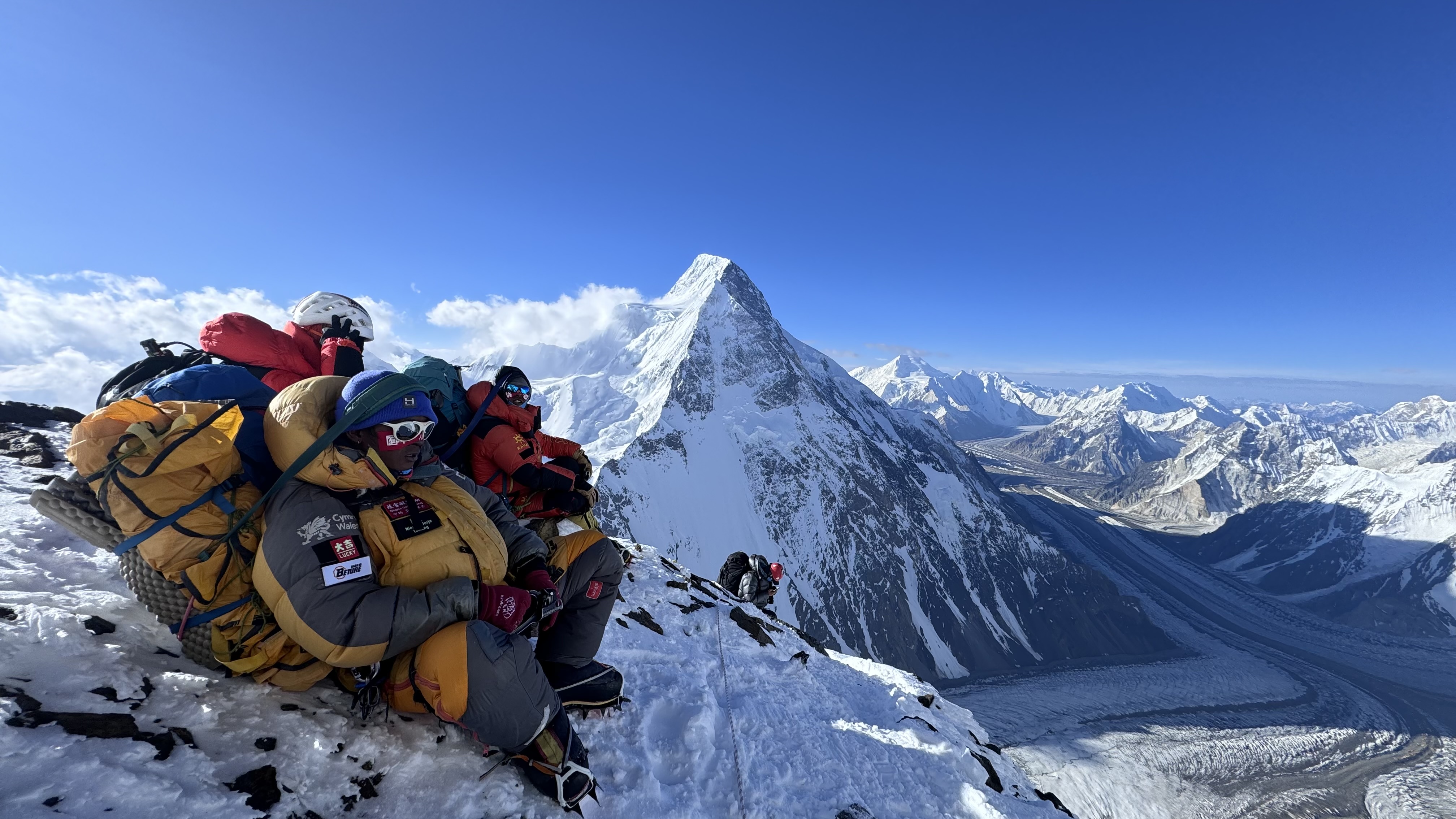
The Baltoro Glacier is a world unto itself: a river of ice studded with seracs, moraines, and meltwater streams, framed by walls of rock and ice that rise three to four kilometers on either side. At Concordia — the confluence of the Baltoro and Godwin-Austen glaciers — the view opens to reveal K2, Broad Peak, and the Gasherbrum group simultaneously in one of the most overwhelming mountain panoramas that exists anywhere on Earth.
The approach also passes through the cultural heartland of Baltistan, where ancient Silk Road trading routes connected Central Asia with the Indian subcontinent for centuries. The Balti people of this region — descended from Tibetan settlers and shaped by centuries of high-altitude living — are among the most skilled mountain porters in the world, and the K2 expedition's logistical infrastructure depends entirely on their expertise, knowledge, and commitment to the mountain.
About Route
The K2 Climbing Expedition follows the Abruzzi Spur, progressing from Base Camp (5,150m) through Camp 1 (6,100m), Camp 2 (6,700m), Camp 3 (7,300m), and Camp 4 (7,800m) before the final summit push to 8,611m. Each section of the route presents distinct technical challenges that must be navigated in succession, often in deteriorating weather, at extreme altitude, and under significant physical stress.
Baltoro Glacier Approach
The expedition begins with a domestic flight from Islamabad to Skardu, followed by a seven-hour jeep drive to Askole and a six-day trek along the Baltoro Glacier to K2 Base Camp. This approach serves as the initial acclimatization phase, allowing the body to adapt progressively to altitude while covering one of the world's most dramatic mountain landscapes.
Technical Climbing Preparation at Base Camp
Upon establishing Base Camp, the expedition team conducts comprehensive technical training before any climbers move above the glacier. Preparation includes:
The Abruzzi Spur — Section by Section
Base Camp (5,150m) to Camp 1 (6,100m): Moderate glacier approach transitioning to lower spur terrain, establishing the expedition's opening acclimatization rotation
Note: Route conditions vary significantly with seasonal snowfall, serac movement, and prevailing weather. All route decisions are made by the expedition leadership team based on real-time conditions.
Acclimatization Rotations
Following the established "climb high, sleep low" acclimatization protocol, climbers complete a series of rotation climbs through the camp system before committing to the summit push. These rotations serve multiple functions: physiological adaptation to decreasing oxygen levels, route familiarization, and load-carrying to establish higher camps, and team assessment of individual performance under altitude stress during the K2 Mountaineering Expedition.
As part of the K2 Mountaineering Expedition, these carefully planned rotations help climbers build strength, improve acclimatization, and prepare for the challenges of higher elevations before the final summit attempt.
Key Technical Challenges on the Upper Mountain
If you are an experienced high-altitude climber looking for the ultimate challenge beyond an Everest expedition,K2 Climbing Expedition offers a truly unforgettable adventure. This mythical summit is still being dreamed by all the mountaineers worldwide who want to challenge their limits and become on one of the most legendary mountain summits in the world.Explore our journey on Instagram, Facebook & TikTok for photos, videos, and stories
Would you like to ask us in email info@himalayanmountaineering.com.
Itinerary
Day 01: Arrival in Islamabad (540m)
Upon arrival at Islamabad International Airport, our representative will meet you and transfer you to the hotel. Attend a welcome briefing covering the K2 Expedition structure, team introductions, and the upcoming schedule.
Overnight: Hotel — 540m
Day 02: Expedition Preparation & Final Briefing
A full day is reserved for permit processing, equipment inspection, gear review, and detailed expedition briefing with the climbing team. Any final supplies can be purchased in Islamabad.
Overnight: Hotel — 540m
Day 03: Fly to Skardu (2,228m) & Explore Skardu
Take a scenic mountain flight to Skardu, offering spectacular aerial views of the Karakoram. The afternoon is available to explore Skardu town and complete any remaining preparations.
Overnight: Hotel — 2,228m
Day 04: Skardu – Rest, Gear Check & Official Formalities
A final preparation day in Skardu for equipment checks, permit verification, porter arrangements, and remaining official formalities before beginning the trek.
Overnight: Hotel — 2,228m
Day 05: Drive to Askole (3,040m)
Drive by jeep through the Braldu River Valley to Askole, the traditional roadhead for Baltoro Glacier expeditions.
Overnight: Tent — 3,040m
Day 06: Trek to Jhula (3,200m)
Begin the trek along the Braldu River toward Jhula, gradually entering the spectacular Karakoram landscape.
Overnight: Tent — 3,200m
Day 07: Trek to Paiyu (3,450m)
Continue across the lower Baltoro approach toward Paiyu, with increasingly dramatic views of the surrounding peaks.
Overnight: Tent — 3,450m
Day 08: Acclimatization & Rest at Paiyu (3,450m)
A planned rest and acclimatization day at Paiyu allows the team to recover and prepare for the higher elevations and glacier terrain ahead.
Overnight: Tent — 3,450m
Day 09: Trek to Urdukas (4,050m)
Enter the Baltoro Glacier and trek across its moraine toward Urdukas. Enjoy spectacular views of the Trango Towers, Cathedral Spires, and surrounding Karakoram peaks.
Overnight: Tent — 4,050m
Day 10: Trek to Goro II (4,300m)
Continue across the Baltoro Glacier beneath some of the world's most impressive mountain walls, including Masherbrum and the surrounding Karakoram giants.
Overnight: Tent — 4,300m
Day 11: Trek to Broad Peak Base Camp / Concordia (4,800m)
Approach Concordia through the upper Baltoro Glacier. The first dramatic views of K2 appear, marking the approach to the Savage Mountain.
Overnight: Tent — 4,800m
Day 12: Trek to K2 Base Camp (5,150m)
Continue across the Godwin-Austen Glacier to K2 Base Camp, situated beneath the Abruzzi Spur. Establish camp and complete the initial expedition orientation.
Overnight: Tent — 5,150m
Day 13–40: K2 Climbing & Summit Period (5,150m–8,611m)
The main climbing phase of the expedition is dedicated to acclimatization, technical preparation, camp establishment, load carrying, recovery, and the summit attempt.
The climbing strategy includes progressive rotations between K2 Base Camp and the higher camps:
The team will undertake multiple acclimatization rotations following a progressive “climb high, sleep low” approach. These rotations allow climbers to adapt gradually to extreme altitude while carrying equipment, establishing higher camps, and familiarizing themselves with the technical sections of the route.
The climbing period also includes rest and recovery at Base Camp, weather monitoring, route assessment, technical preparation, and strategic planning. Once an appropriate weather window and safe route conditions are established, the team will begin the final summit push toward K2.
The summit attempt will proceed through the upper camps toward the summit at 8,611m, followed by a controlled descent to the lower camps and ultimately K2 Base Camp.
Overnight: Tents — 5,150m to 8,611m
Day 41: K2 Base Camp Clean-Up & Trek toward Concordia
After completing the expedition, the team will dismantle Base Camp, manage expedition waste responsibly, organize equipment, and begin the descent toward Concordia along the Godwin-Austen Glacier.
Overnight: Tent — approximately 4,650m
Day 42: Concordia – Goro II / Urdukas
Continue the descent across the Baltoro Glacier, retracing the spectacular route toward the lower camps.
Overnight: Tent — approximately 4,050–4,300m
Day 43: Urdukas – Paiyu (3,450m)
Continue descending through the Baltoro approach toward Paiyu, enjoying the changing landscape as the valley becomes greener and warmer.
Overnight: Tent — 3,450m
Day 44: Paiyu – Askole – Skardu
Complete the final trekking section toward Askole before transferring by jeep to Skardu. The evening is reserved for recovery and celebration following the expedition.
Overnight: Hotel — 2,228m
Day 45: Skardu – Islamabad / Final Departure
Fly from Skardu to Islamabad. Depending on international flight schedules, continue onward for your international departure or stay overnight in Islamabad if required.
Overnight: Hotel / International Departure
Note: The 45-day itinerary is designed as an optimized expedition schedule. The K2 climbing and summit period remains flexible and may be adjusted according to weather, route conditions, acclimatization, team performance, and overall mountain safety.
Route Map
Gear List
Clothing
Base Layers
Insulation Layers
Outer Layers
Summit Suit
Headgear
Gloves
Footwear
Boots
Socks
Gaiters
Climbing Gear
The Team
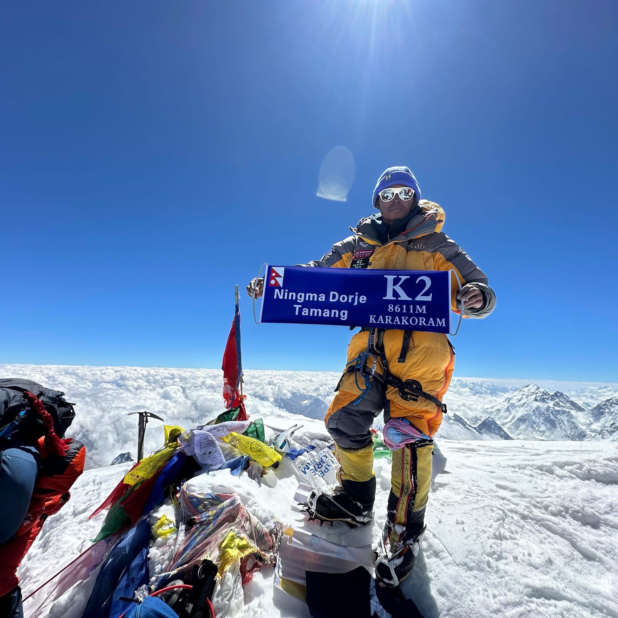
Our K2 team will be led by experienced Ningma Dorje Tamang who has a big history of climbing the big mountains with an experience of 15 years. Ningma Dorje Tamang is the Co-Founder and Director of Himalayan Mountaineering Expedition with over 15 years of mountaineering experience. He has guided and climbed major peaks including Everest, K2, Annapurna I, and Nanga Parbat. Known for his technical skills, leadership, and endurance, he is a highly respected high-altitude guide in Nepal. There will be other sherpa working under him for each members. There will also be a base camp who will take care of foods, accommodation and hygiene. There will also be team in Kathmandu who will work on weather update, helicopter arrangements and other necessary things.
Packages
K2 Classic Expedition
$40,000 Per Person
Our Mount K2 Climbing Package Includes:
K2 Classic Expedition
$40,000 Per Person
Our Mount K2 Climbing Package Includes:
K2 Elite Expedition
$60,000 per person
Our Mount K2 Climbing Package Includes:
K2 Luxury Expedition
$85,000
Our Mount K2 Climbing Package Includes:
FAQ
The principal climbing season for K2 is July and August, when conditions can provide the most suitable opportunities for summit attempts. However, weather in the Karakoram remains highly unpredictable, and summit dates cannot be guaranteed.
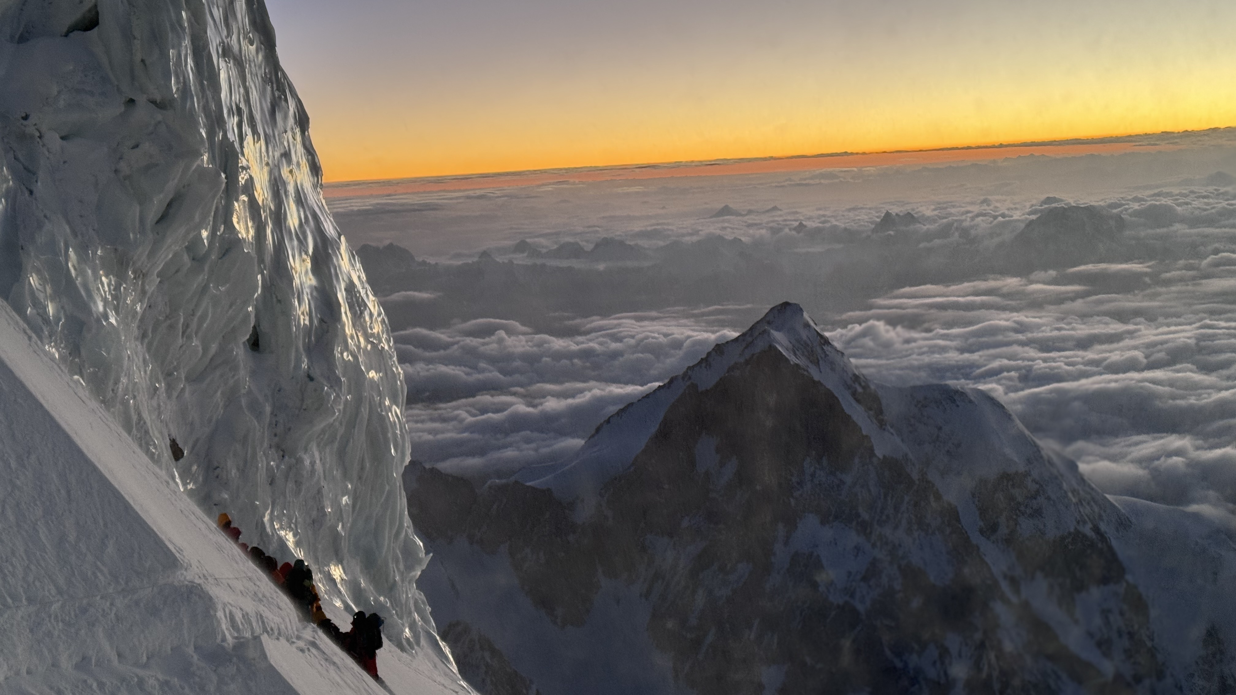
K2 is classified as Extreme (10/10). Climbers encounter steep rock, ice and mixed terrain, fixed ropes, high-altitude exposure, severe cold, strong winds and prolonged periods above 7,000 meters. The upper mountain includes technically demanding sections such as the House's Chimney, Black Pyramid, Shoulder and Bottleneck.
K2 is intended for highly experienced mountaineers, not first-time eight-thousand-meter climbers. Applicants should have substantial experience in high-altitude mountaineering, technical rock and ice climbing, fixed-rope movement, crampon and ice-axe techniques, and expedition-style climbing.
Yes. Supplemental oxygen is included according to the selected package. The Classic package includes 7 oxygen bottles per climber, the Elite package includes 10 bottles plus an emergency bottle, while the Luxury package provides an unlimited oxygen supply, subject to operational availability and expedition logistics.
The summit schedule remains flexible. If weather or route conditions are unsuitable, the team may remain at Base Camp or lower camps until conditions improve. Additional climbing or summit-attempt days may be used where available within the expedition schedule.
No. Emergency helicopter evacuation is not included in the standard package price. Any evacuation or rescue costs must be covered by the climber's insurance or paid directly by the climber, subject to operational availability and weather conditions.
Gallery
Trip Inquiry
Search another peak or departure, or send your questions, preferred dates, group size, and expedition requirements — our team will get back to you.
Not sure which peak? Browse all expeditions or send us a message and we'll recommend one.